This is a guest post by Alex from Outdooreer blog (more info in the end in author’s BIO)
Hike after hike, my boots know it already, every step makes me feel connected to nature in those lost and desolate lands called Lapland.
When only the horizon is the limit, the excitement, and adrenaline flow in the blood.
With my all senses sharpened, fully alive, I anticipate the joy of experiencing again those unspoiled landscapes, wild nature, and territories full of colors and emotions. In my mind, I follow those trails of always dreamy precious valleys.
Like an eternal promise, Lapland never disappoints me.
Table of Contents
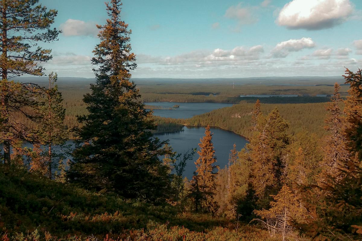
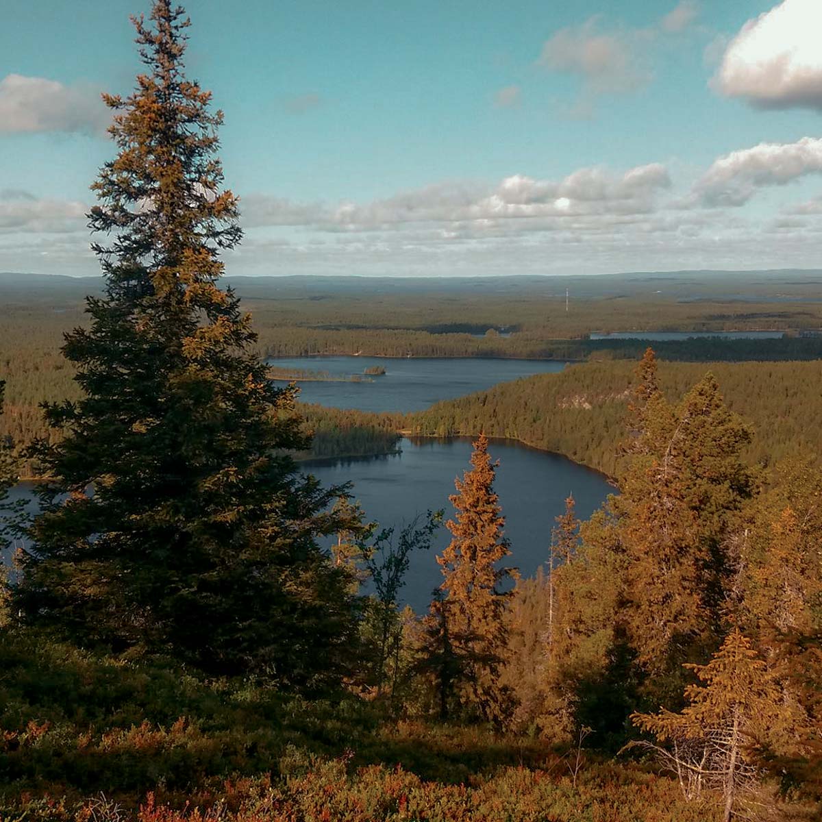
Lapland, land of distances and natural beauties
In Finland, where forest covers 73% of the territory and the number of lakes is countless, there are 40 national parks and Lapland (Lappi in Finnish) is Finland’s northernmost region surrounded by Sweden, Norway, and Russia.
I met Santa Claus once, yes!, he lives in Lapland and precisely in Rovaniemi, but it’s a simple small dot compared to a region that has very little to ask, but so much more to give. During the summer season, around mid-summer (21st June), we can experience the 24-hours sunlight.
Isn’t it so exciting? There are more than 40 days in a row when the sun doesn’t set and we can spend endless time enjoying the endless beauty of tundra.
My top 3 best hiking trails in Lapland
Lapland, with a density of 2 persons per square kilometer, is the perfect place to enjoy the outdoors and contemplate the beauty of nature while hiking.
Among the stunning national parks that I’ve visited or numerous paths that I’ve hiked, these are my recommended top 3 trails in Lapland.
Karhunkierros
Karhunkierros, which in Finnish means the trail of the bear, is a hiking trail that stretches in north-eastern Finland and runs in the area of Oulanka National Park, which is famous for its admirable landscapes.
Attracting almost 15,000 hikers every year, it’s a popular and well-known landmark of Lapland.
What makes it special
My excitement of visiting Kuusamo only grows overtime. Crossing the suspension bridges and ditches along with high forests of pine, rapids, rivers flowing in deep gorges, steep cliffs, and ridges, never fail to heighten my senses.
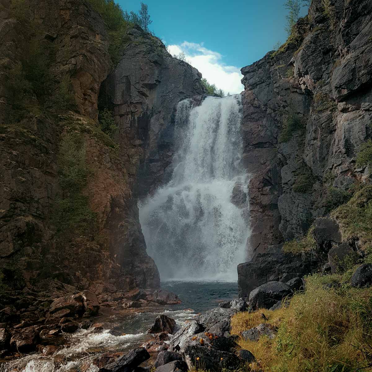
Just like any garden heaven, I fell in love with its long series of Oulankajoki rapids. The water falls a total of 14 meters over a distance of just three hundred meters. The roar of the rapids is dizzying, and the pulsating power of the water feels so massive.
It’s clear why Karhunkierros is one of the best and most popular hiking trails in Finland.
Despite some crashing uphill, it’s one of my favorites!
The trail
Karhunkierros starts the route from Nature House Center in Hautajärvi and ends at the village of Ruka. With the total length of the route of 80 kilometers and an important elevation difference, a hiker can cover the entire route within 3-5 days.
The route is clearly marked on the terrain with orange paint marks. It is easy to navigate, so there is no risk of getting lost. Therefore, it suits both expert and novice hikers.
When to visit
The high season lasts from mid-July to late September.
For those looking for a peaceful and quiet hike, the Karhunkierros is certainly not the best option during the high season. Plenty of nature lovers are on the route, especially in summer.
For who
This clearly marked trail can be taken in consideration for novice hikers or for who, let’s say… don’t have a good sense of orientation. But also, if you enjoy nature, chats with other hikers and at the end, the peaceful life of the village Ruka, this trail is for you.
Transportation
Public transportation is well organized around the Karhunkierros Nature Center, the starting point of the route. Busses are easily accessible from and to Ruka village or the nearby airports of Oulu or Kuusamo.
For overnight stays, there are numerous huts and sheds along the route. We recommend bringing a tent during the busiest summer season, as huts can be crowded.
Urho Kekkonen, national park
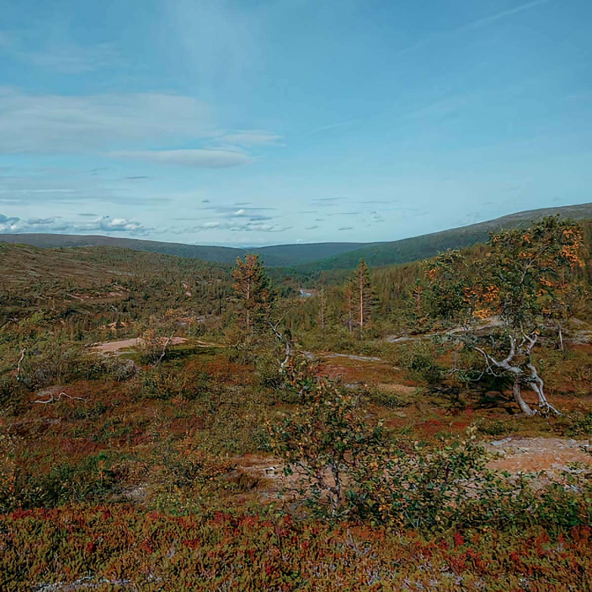
The national park, named after Urho Kekkonen, who was the president of the country for nearly 26 years, is the second-largest in Finland (2,550 square kilometers). It is located in the eastern part of Lapland and it’s one of the wildest hiking destinations in Lapland.
I find the services of Urho Kekkonen National Park exceptional.
For hikers, there is 200 km of marked trails, tens of kilometers of boardwalks, 37 overnight lounges and combs, 27 sheds and huts, more than a hundred firewood fireplaces, and 85 dry toilets!
Don’t worry about crowds, remember, this is Lapland… with its over 200 km of marked trails you can definitively find your own space.
What makes it special
At the beginning of the Paradise gorge (Paratiisikuru), a lush green oasis opens in the middle of a barren mountain range. This is a wonderful place with the meandering stream flowing down the gorge towards the river.
When walking on the peaceful trail you are truly never alone: there is always some reindeer in the distance.
The trails
There are two popular trails, Luirojärvi and Nuorttin retkeilyreitti (Youth Hiking Trail).
Luirojärvi hike is the pearl and the most legendary of Urho Kekkonen National Park, the long trail. Lake Luirojärvi is located in the heart of the park, at the foot of the highest mountain, Sokost, which is 718 meters above sea level. There are no actual marked routes to Lake Luirojärvi, even though there are clear trails on the terrain. On this hike, orienteering skills are necessary.
Youth Hiking Trail (Nuorttijoki trail) is in the southeast corner of the UK park, right on the border of the national park. The place is an excellent hiking and fishing destination (the Nature center sells the finishing licenses), and popular especially during the fall season in September.
The trail is a 40-kilometer loop that runs along the banks and ridges of the river. First, we walk along the Russian border and cross the Nuorttijoki River via a suspension bridge. Then we head along the opposite bank of the river back west, where we cross the river by wading.
When to visit
Urho Kekkonen National Park can be visited all year round.
The best times are the bright spring twigs of Easter and late spring, as well as the autumn fall.
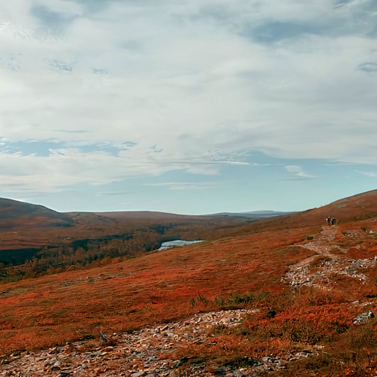
If you are passionate about warm colors, try to aim for late September. In this period of the year, when the mild autumn temperature is still ideal for hiking, you can experience what locals call “ruska”. The magical atmosphere when leaves change color to yellow and red and paint beautiful landscapes.
Between the two trails, the Youth Hiking Trail is more popular, especially during the autumn season. At that time staying overnight in a hut may not always be possible. So, be prepared: reserve a bed in the reservation hut, or bring your own tent.
Kevo trail
This is what I’m always looking for, a hike across demanding Arctic wildernesses of Lapland. In the stunning and unique landscapes, Kevo is the trail worth every step of the hike. It’s the northernmost trail of Finland, close to the border with Norway where I experience the Lapland landscape at its most extraordinary.
What makes it special
Kevo Canyon is one of the unique excursion destinations in Finland.
I start hiking, and the Kevo trail continues north along the terrain with mainly mountain birch and a strip between the two lakes, climbing up to the mountain plateau. The beauty of the vast tundra touching the horizon is mesmerizing!
When the 80-metres-deep canyon opens up in front of me in all its glory I feel small in front of those majestics rocks. A powerful waterfall with four river crossings can only bring your spirit up to the stars, and while contemplating the vastity and the, well… that’s it’s the time to return to Earth and enjoy the moment.
The trail
Kevo Nature Park was founded in 1956 and is located in the municipality of Utsjoki. The largest gorge in Finland runs through the nature park and the Kevo hiking trail follows it.
The trail is 63 km long, in addition, it’s possible to walk 20 more km to the original trail reaching Guivi mountain, then 3-5 days should be set aside for the Kevo route.
The route is quite demanding, there are some river crossings, and in some places, it’s difficult to navigate.
Crossing the Kevojoki River in Kevo Canyon is facilitated by hand loops attached to a cable you can hold on to. The water is mostly just a little above knee level, but the riverbed is slippery and sharp.
Transportation
Kervo trail is one direction. To return to the starting point it’s possible to call a taxi, which is of course quite expensive. As an alternative, you can consider contacting Alaniemelän Lomamajat for an accomodation in a cottage with pick-up service.
For who
Despite there are no high mountains, the hikers need to be fit. There are many ups and downs to Kevo Canyon and the route runs in several places near the edge of a cliff, along a steep cliff or steep stairs.
The route is also very rocky, which makes it difficult to navigate and especially slippery in the rain.
A map and a compass must be included in your backpack, as well as footwear to cross the river.
It’s outdoor, be prepared
I love hiking because it’s a wonderful way to immerse yourself in the outdoors.
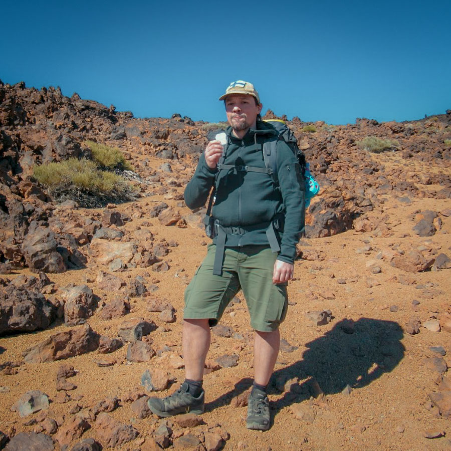
With a few items for the trail and a sense of adventure, I’m ready to head into the wilderness. The list of the necessary equipment for hiking in Lapland is not so long, but it must be well prepared.
One last thing, during your hike, leave no trace!
Respect nature and other hikers, leaving the trash behind you harm the natural surroundings. Simply, take your trash with you. Always.
Now it’s time. Let’s pack our bags, Lapland, we’re coming!
Author’s bio
I’m an outdoor lover and outdoor equipment expert. Discovering the beauty of nature by challenging hiking or cycling is what thrills me. Next adventure, world trip by bicycle.
Follow Alex’s outdoor equipment advice: Outdooreer and Instagram.