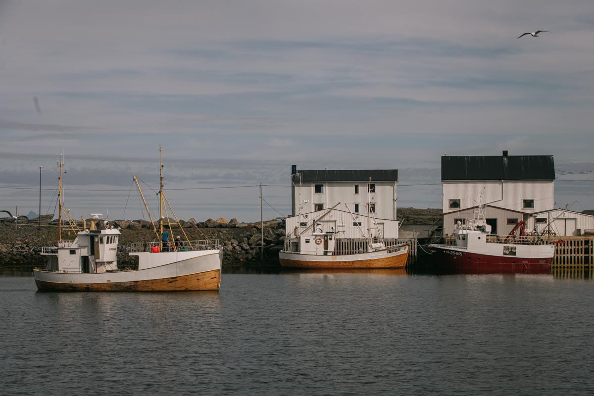
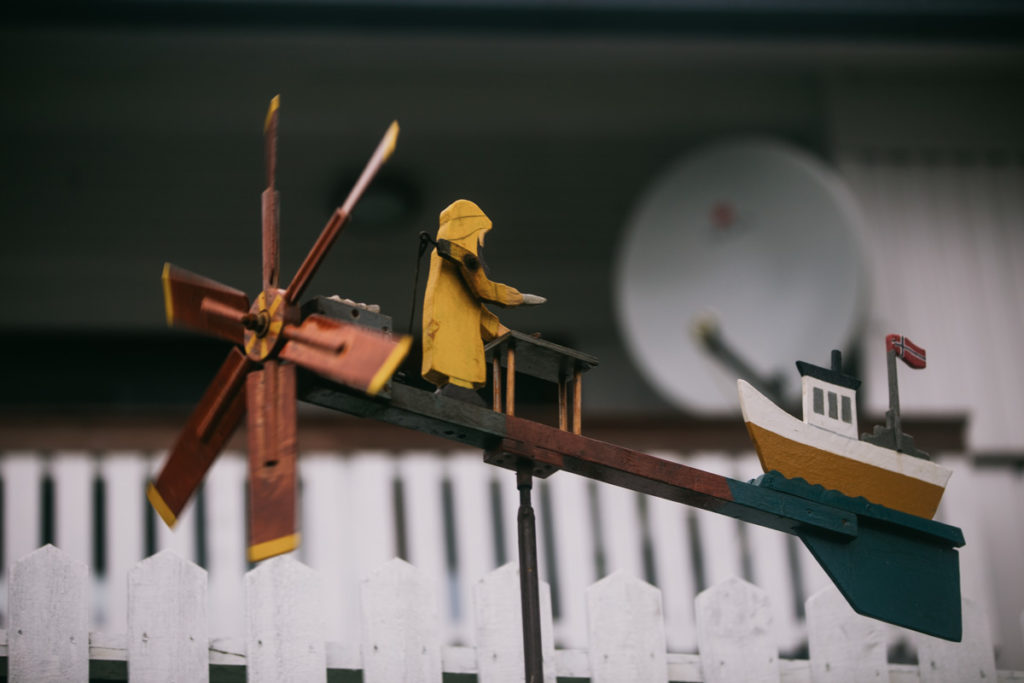
Snowy mountain peaks next to colorful miniature ships, there is no place like Norway. The world knows higher mountains that impress with their sheer size, but they miss the long-lived, fascinating marine culture. Lofoten Islands is an archipelago that has it all, concentrated in quite a small area. It stands out even among other world-famous Norwegian sights.
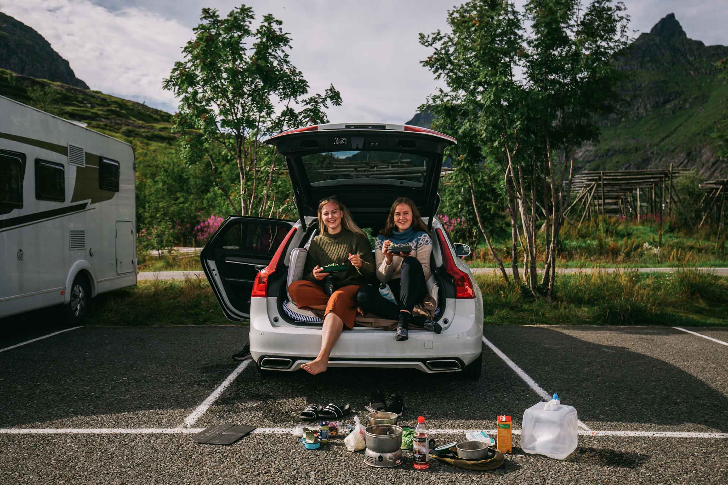
I have visited Norway in the summer during the COVID-19 pandemic, precisely in mid-august. The sad circumstances did significant damage to the tourist industry. But at the same time, though, it made the trip trouble-free. We didn’t need to book anything in advance, and there was always enough place to stay or to park a car.
In this post, I will show the Lofoten Islands in pictures, at the time when they don’t suffer from over-tourism. I will also share my opinion about traveling Norway during COVID 19. This post can also serve as a Lofoten Islands’ travel itinerary.
Visiting Norway during the pandemic
Norway has had one of the lowest numbers of COVID-19 infections per capita in Europe, and it is not densely populated, with plenty of personal space. In other words, in the context of coronavirus, it is one of the safest places to travel. If you go in a car – you reduce the interaction to a minimum.
Border with Finland
We took our car and made it to the north of Finland. There, we crossed the border and went directly to Lofoten. At the time we were traveling, the border control wasn’t present, but it has changed a few times later.
Overall, the number of coronavirus cases is about the same in Finland and Norway, with the last being slightly higher. I think, if there is no significant growth, the boarders are going to remain open. But no one can know for sure…
Traveling without a car
My friends only had a limited amount of time, but I wanted to stay longer. I stayed 2 more days in Lofoten and 2 out of it.
On the busses, drivers are behind a fence. You can no longer buy a ticket from them – you have to use an app or buy it on the website.
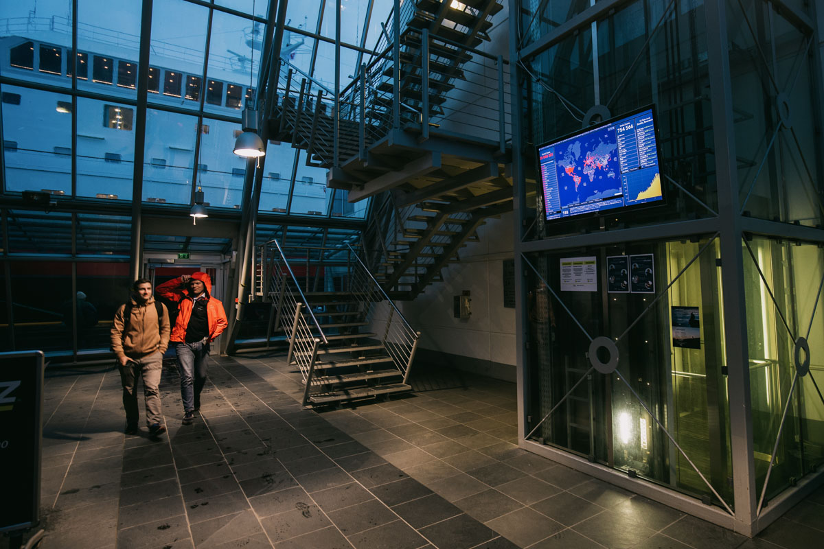
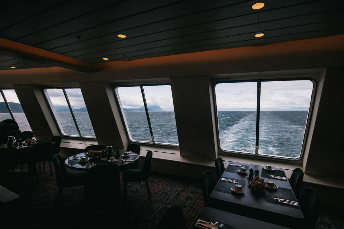
On the Hurtigruten cruise, it seems they have taken good care of travelers. They check the body temperature as you enter, and they ask you to sign a form, confirming that you don’t have coronavirus symptoms. When you have breakfast, you are assigned the time; you cannot use the buffet – you tell the staff what to put on your plate.
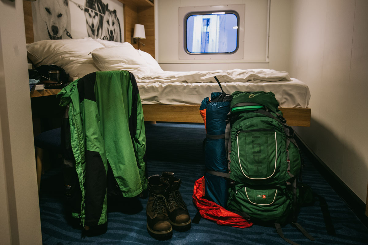
There is a couple of inconveniences. Lofoten islands have to do a lot with mountain hikes. Muscle pain and tiredness are probably unavoidable, and those are the coronavirus symptoms listed in the form. Another thing is the air conditioning. It is over your bet and is set to 20 degrees by default, so I thought I was ok. At night, the wind went right into my face, and it felt super cold. Happily, I felt fine in the morning. In corona-time, even the minor flu symptoms can cause some trouble.
In the airports in Norway, unlike Finland, no one wore masks. But you have to have one when you are inside the plane.
The Lofoten Islands in pictures
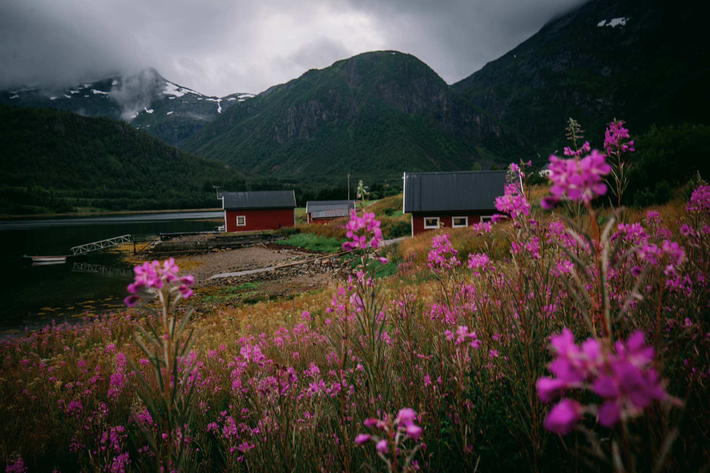
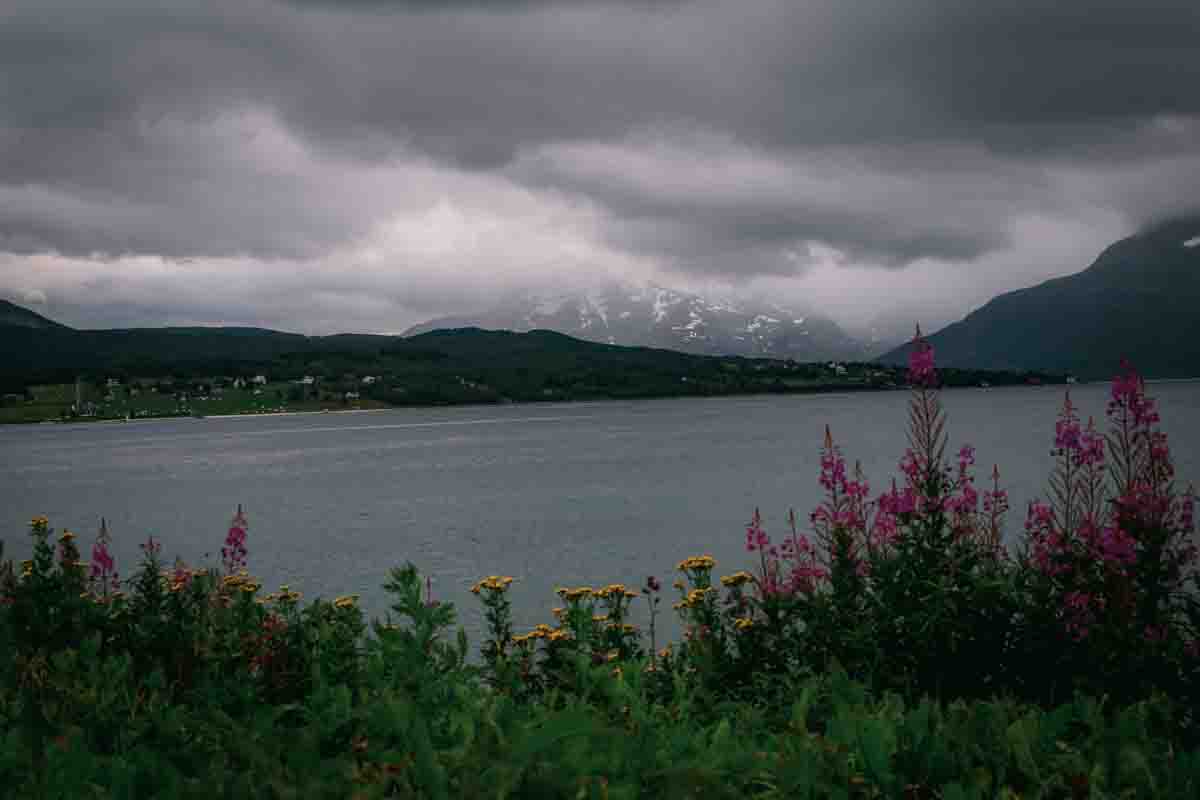
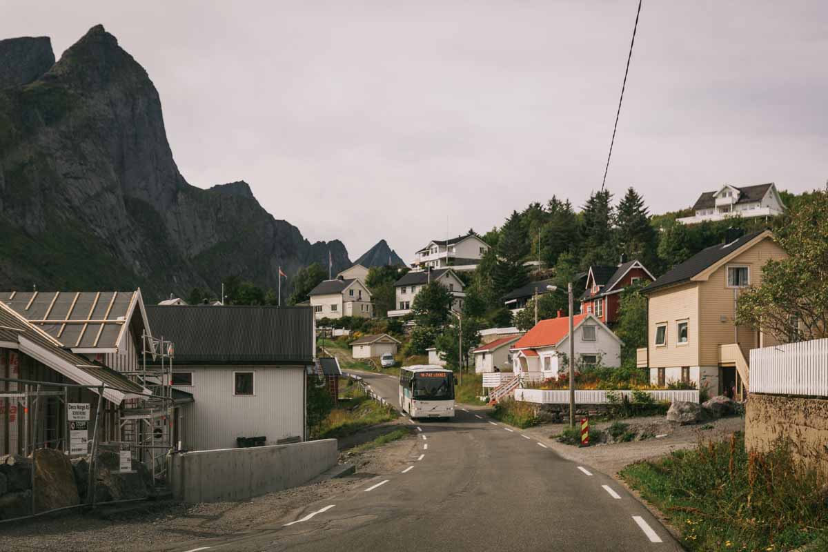
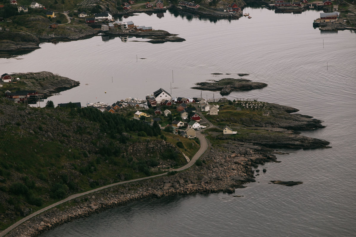
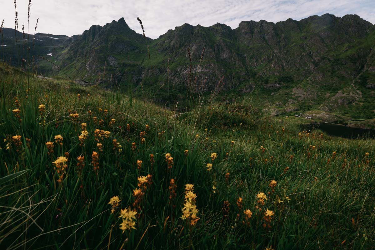
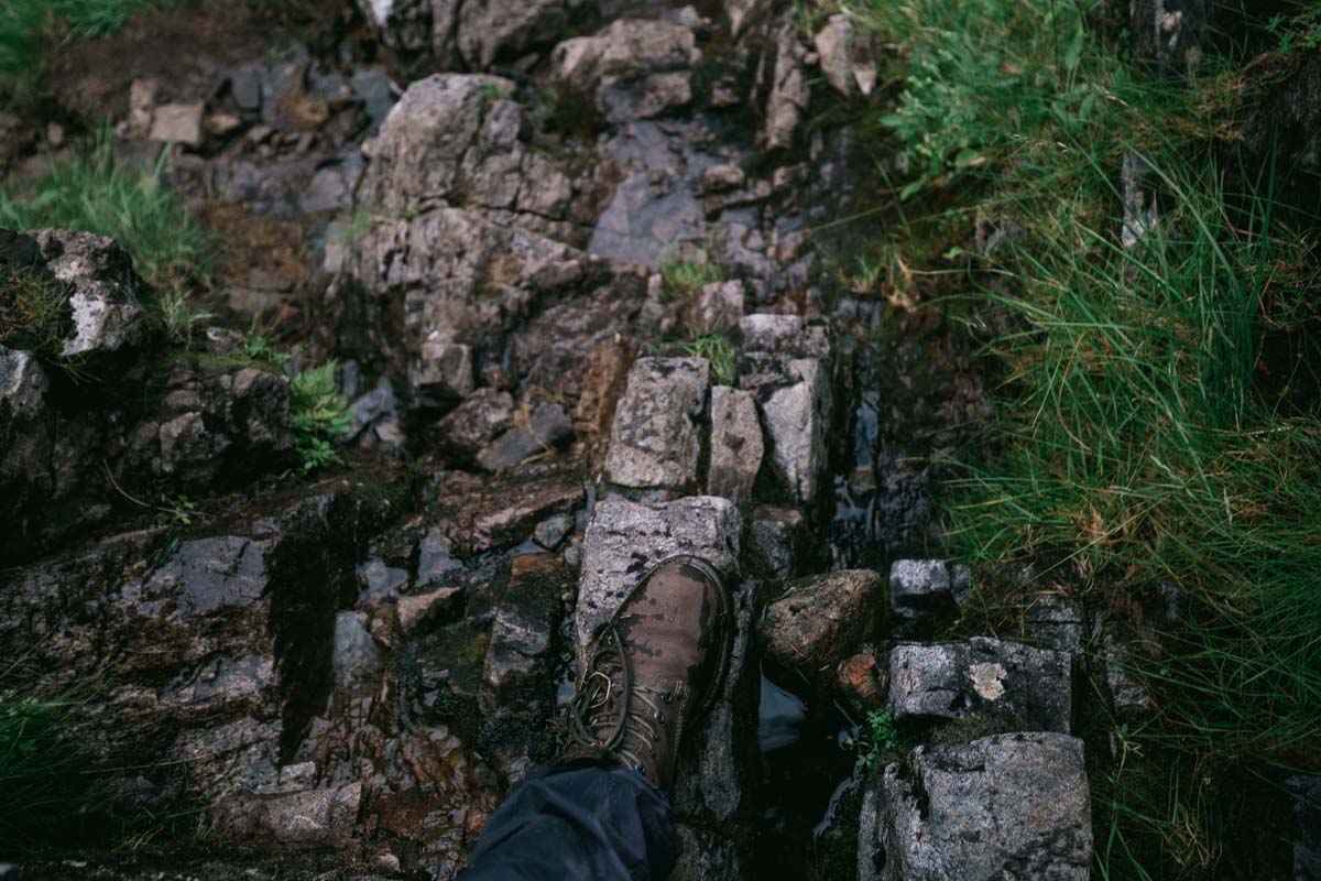
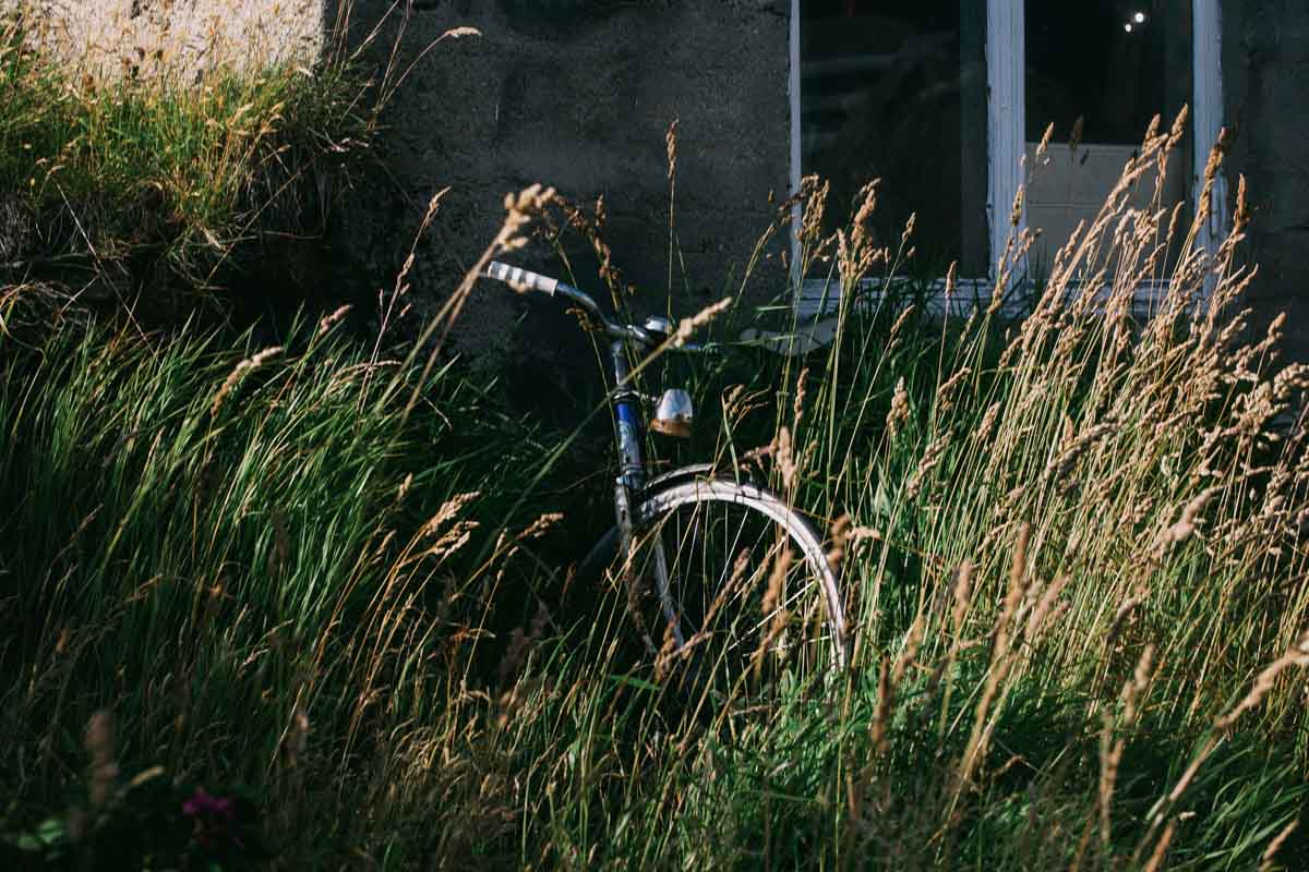
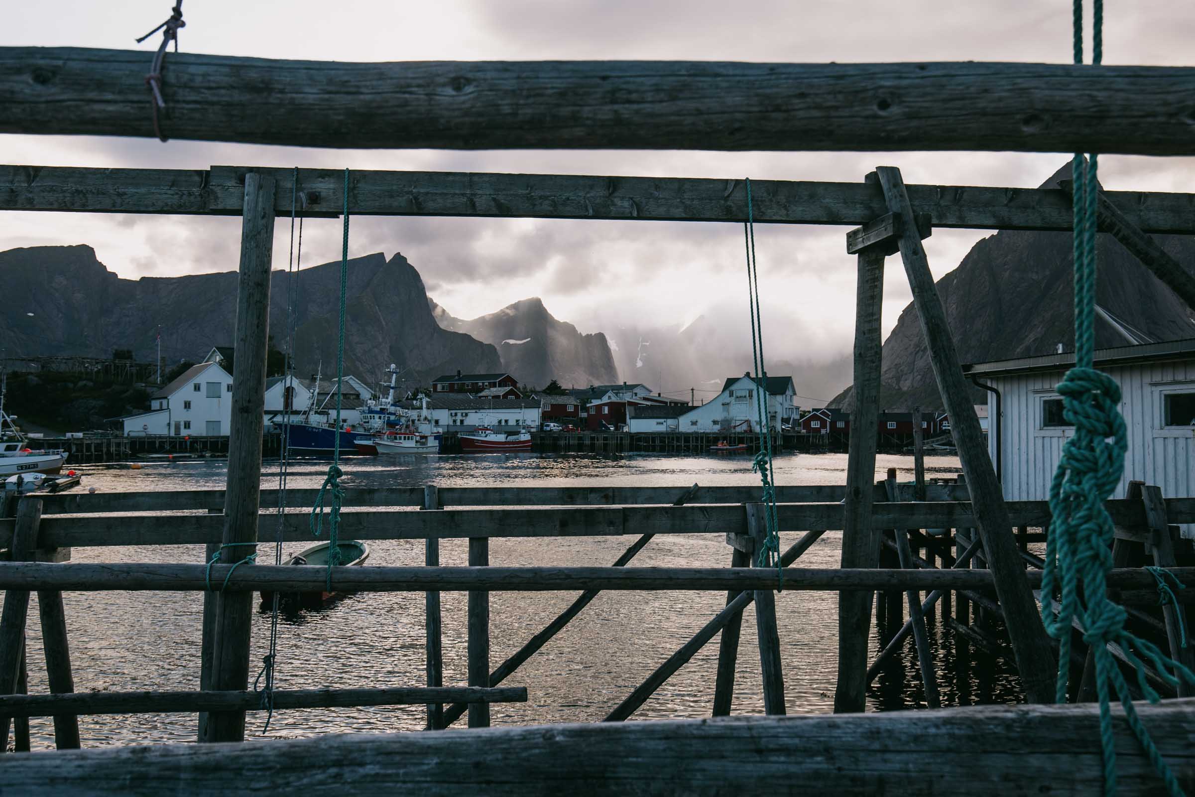
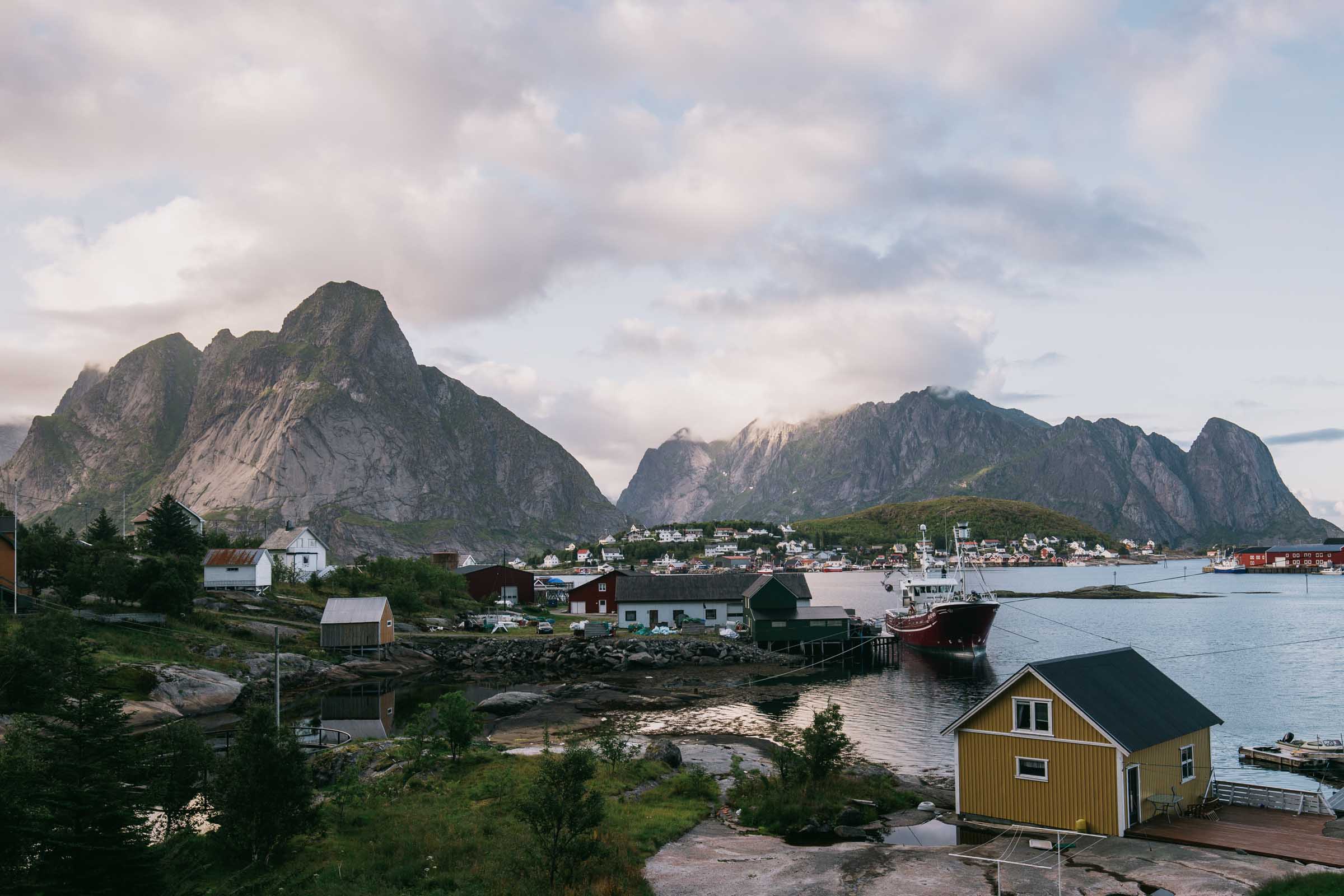
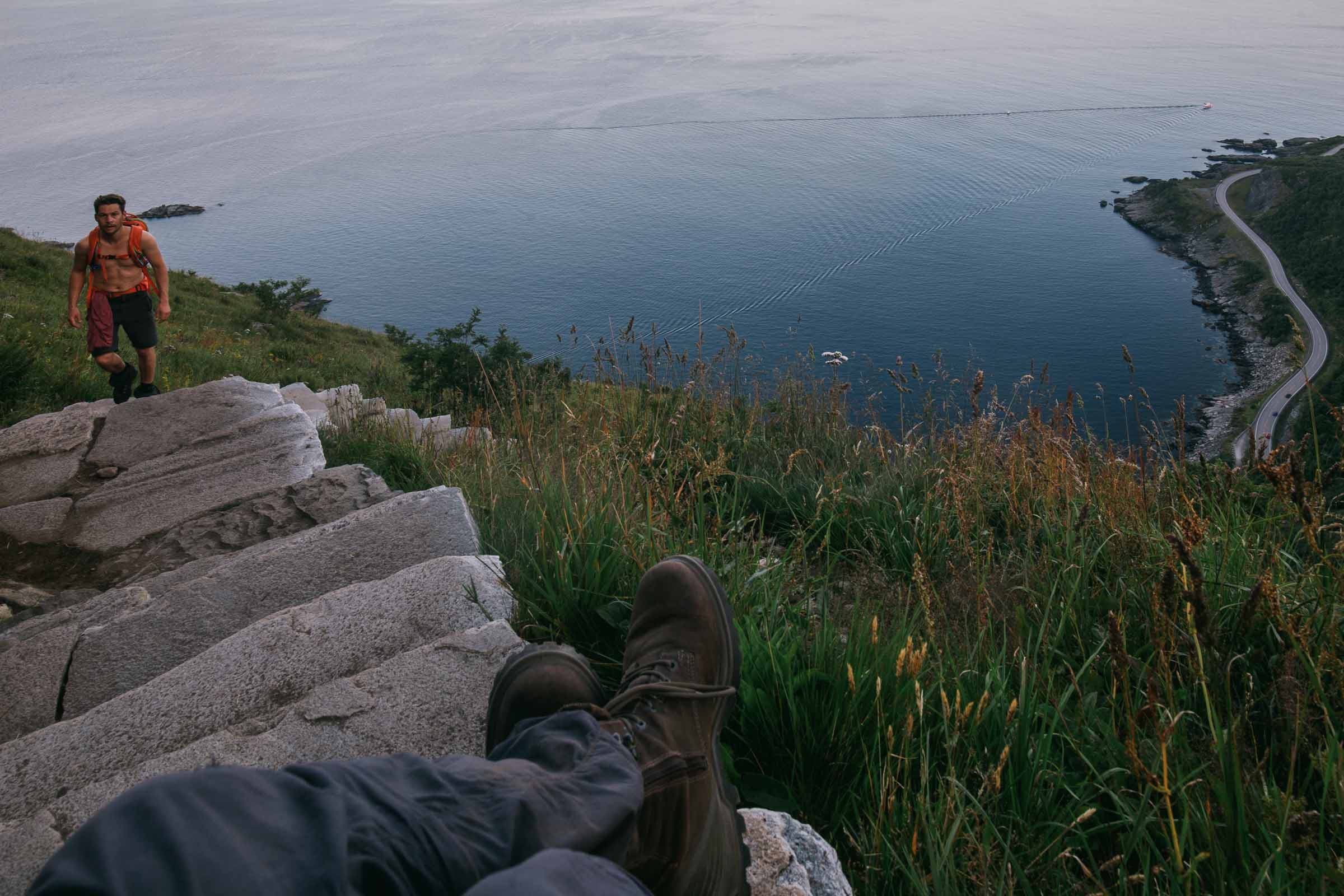
Here I will share my images, all in chronological order. It can also serve as an example Lofoten Islands travel itinerary. We traveled through the whole archipelago, but our main target was Å and Reine.
The trip was done in 5 days, but I don’t think an x-days itinerary makes sense. The weather is unpredictable. In my opinion, the main focus should be on Reine and you may need to wait there longer to catch good wetath.
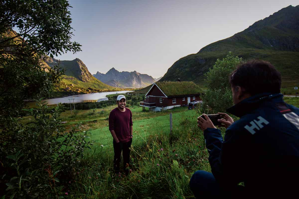
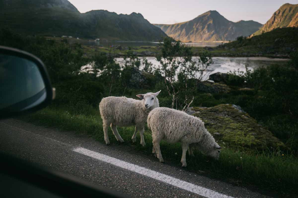
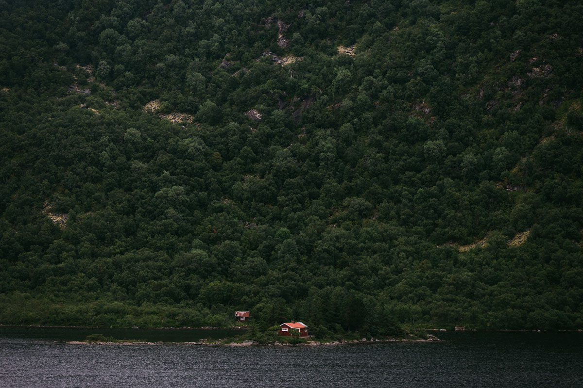
Day 1: The Eastern Lofoten Islands
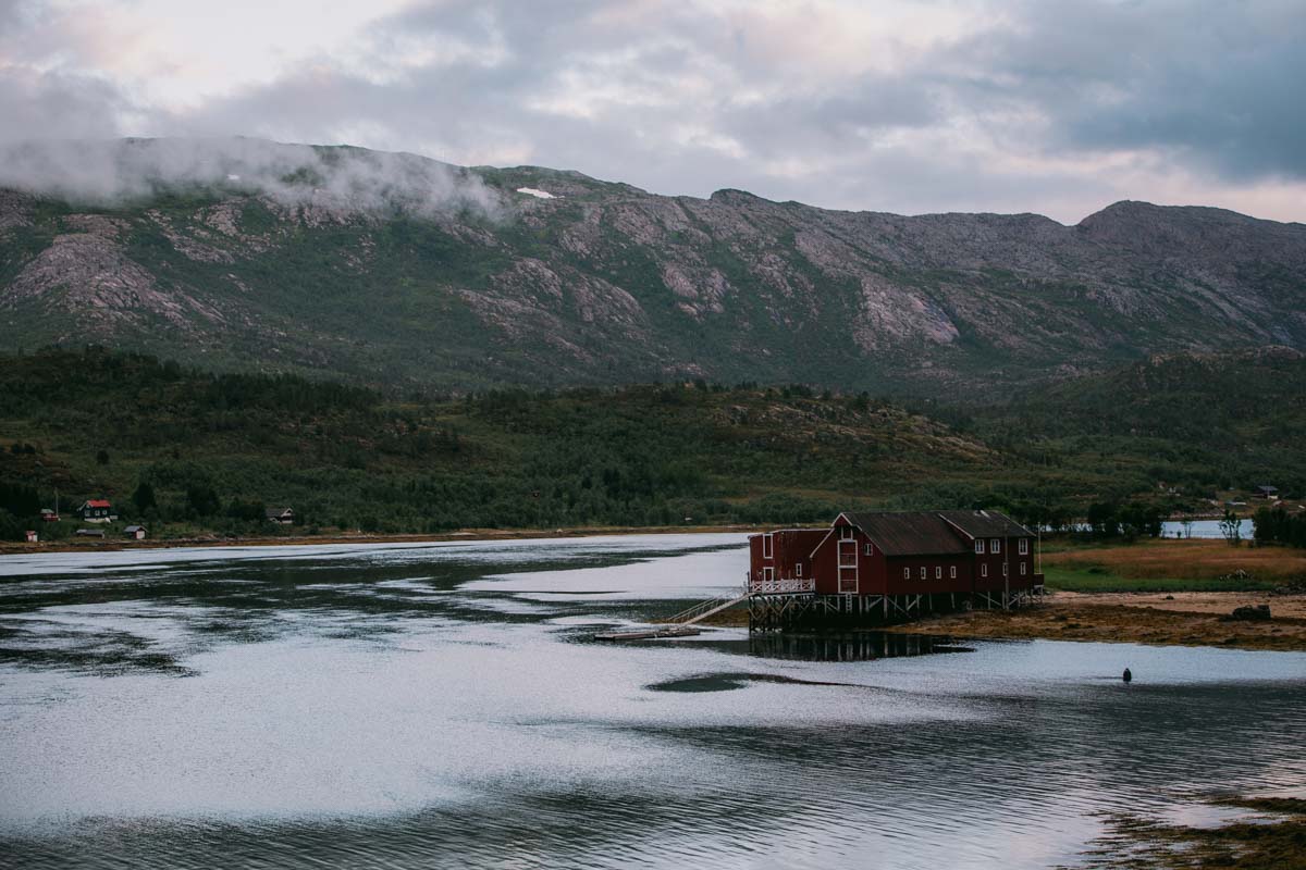
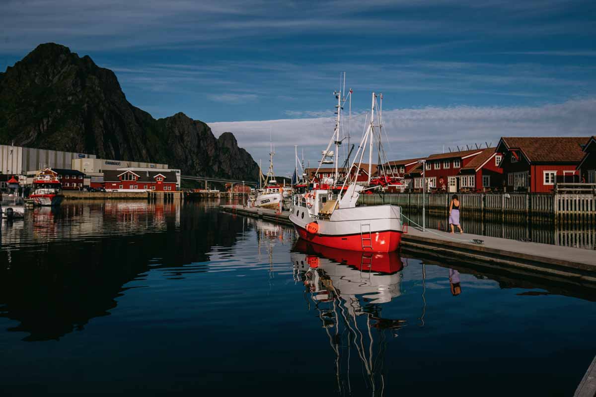
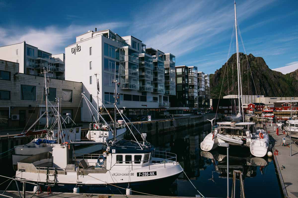
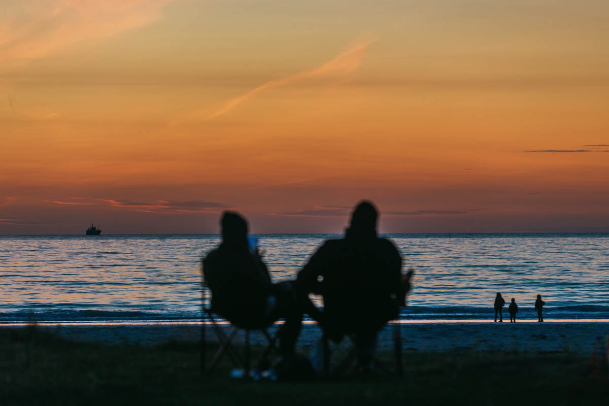
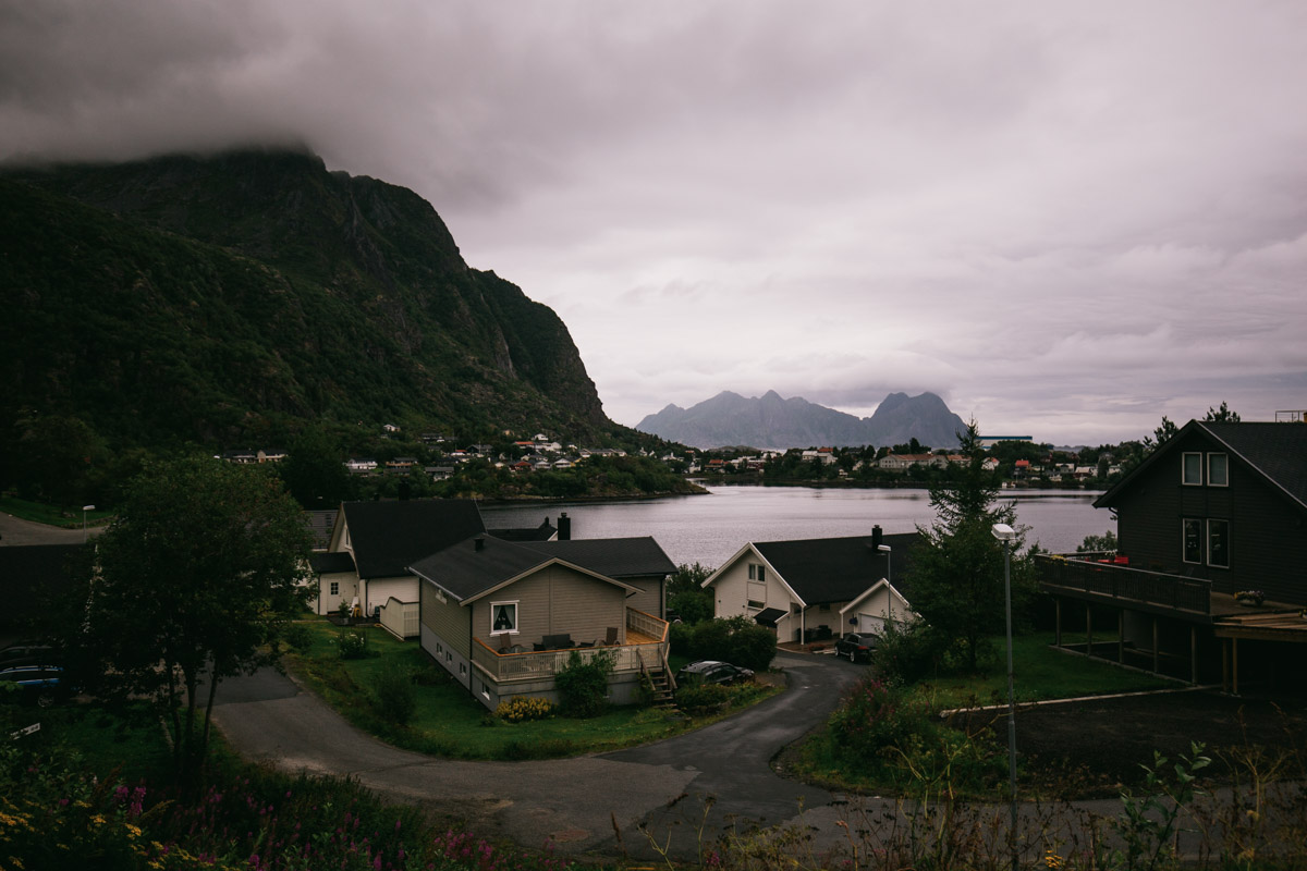
Day 2: Svolvaer – Skagsanden beach
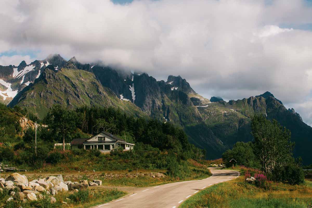
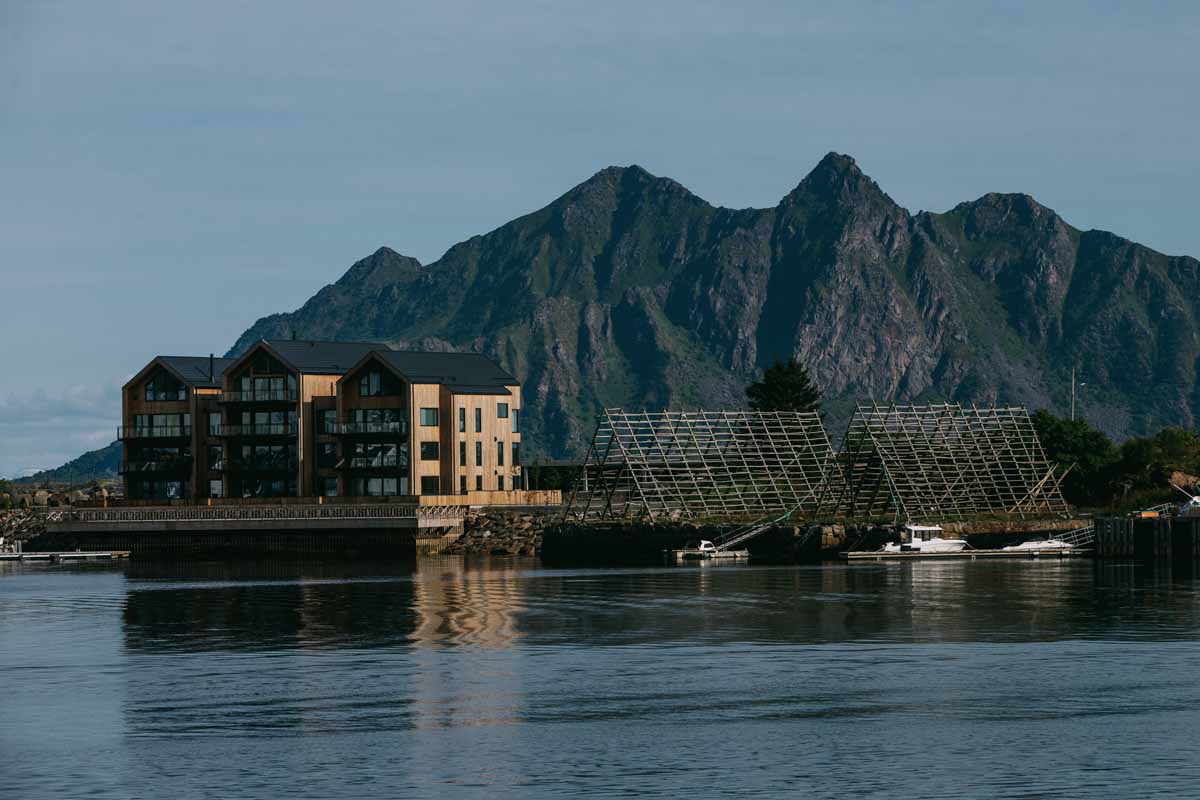
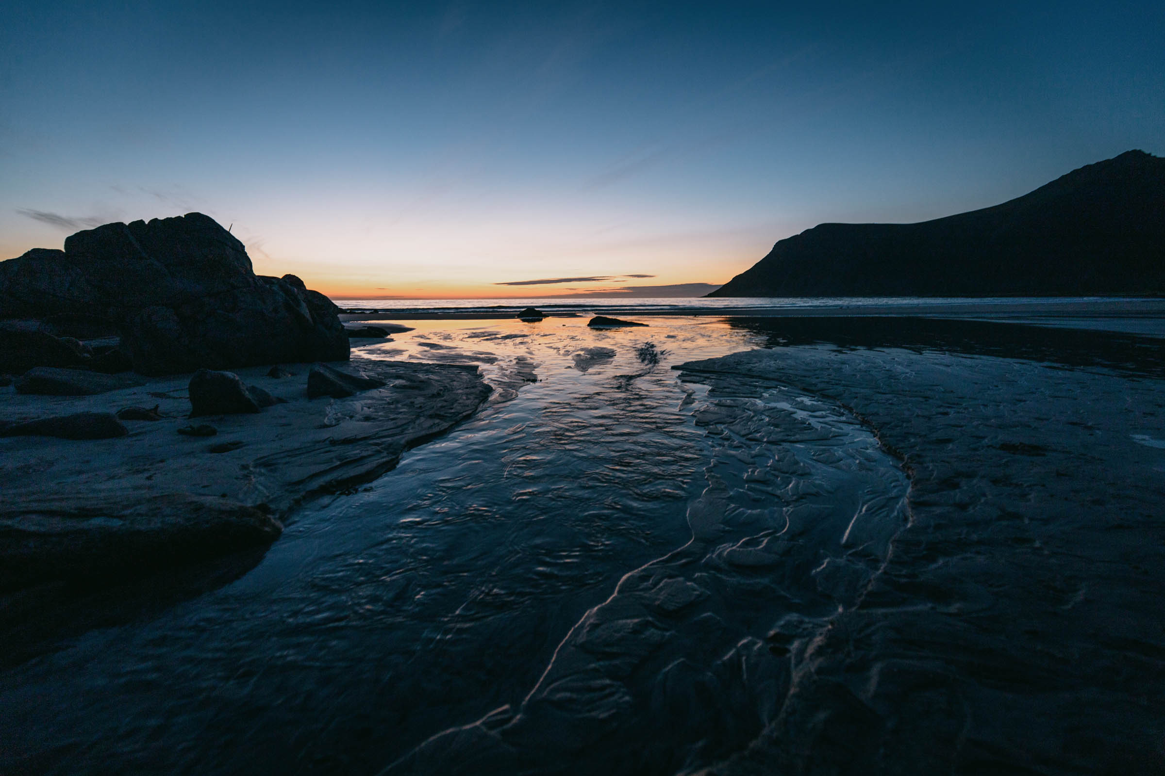
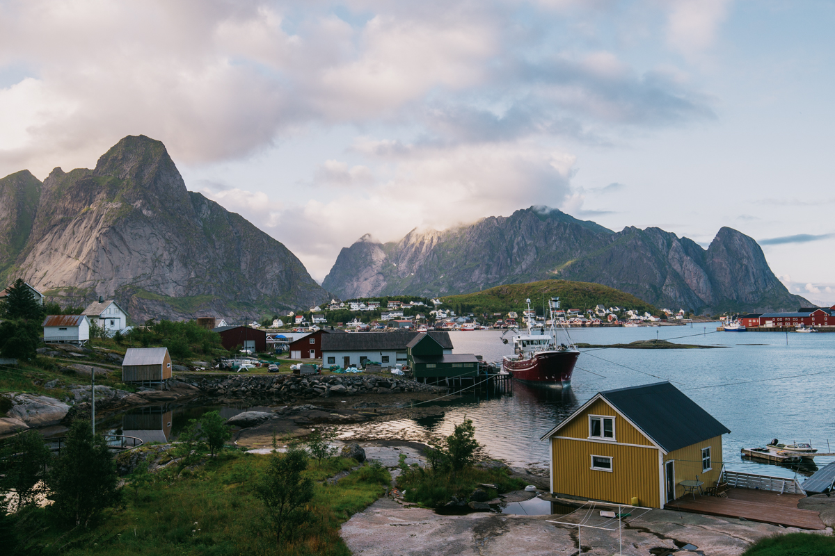
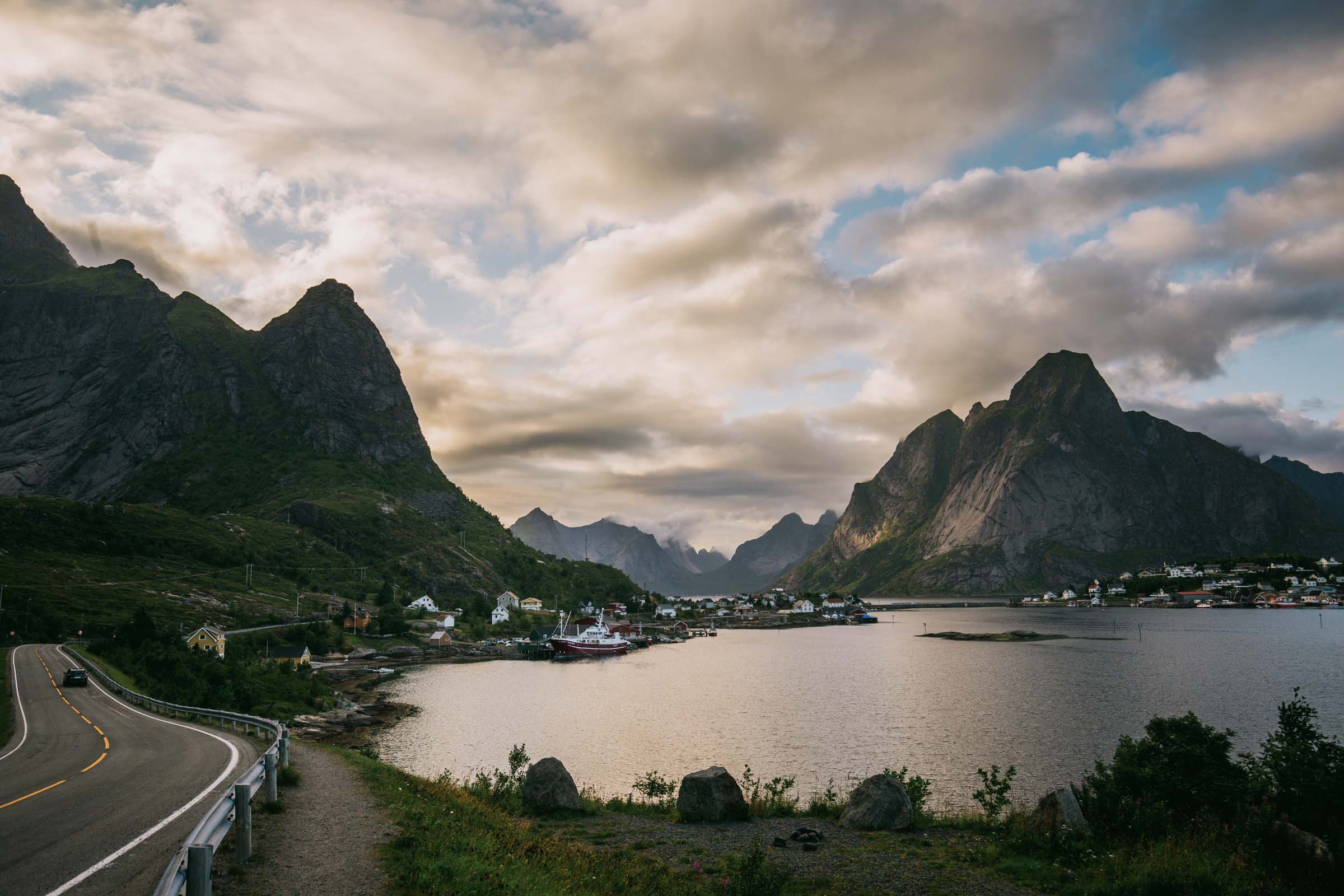
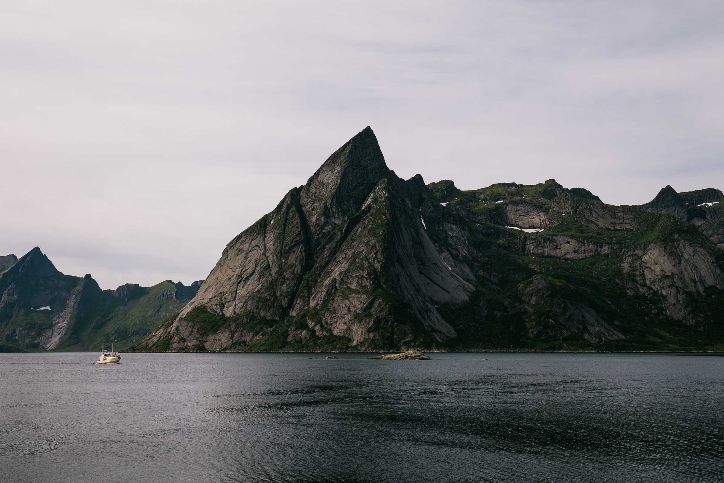
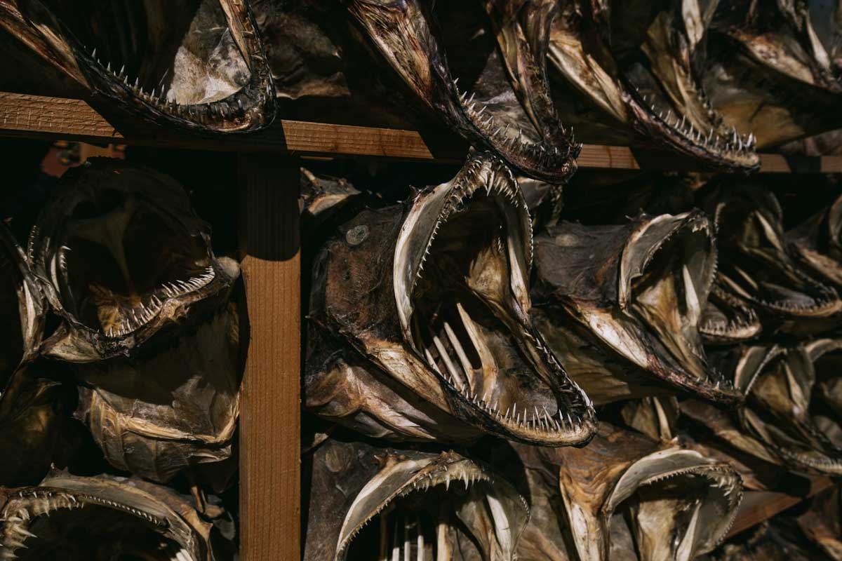
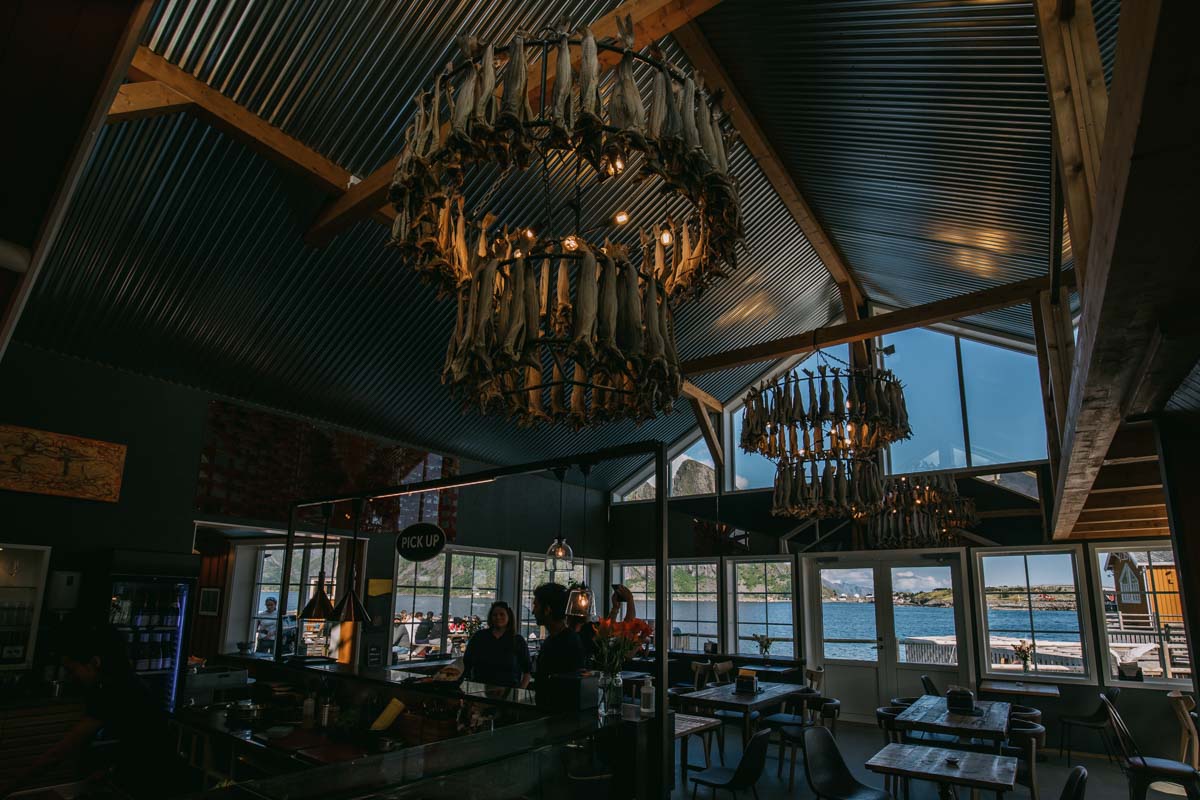
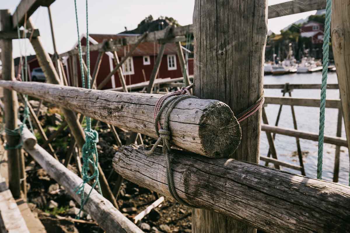
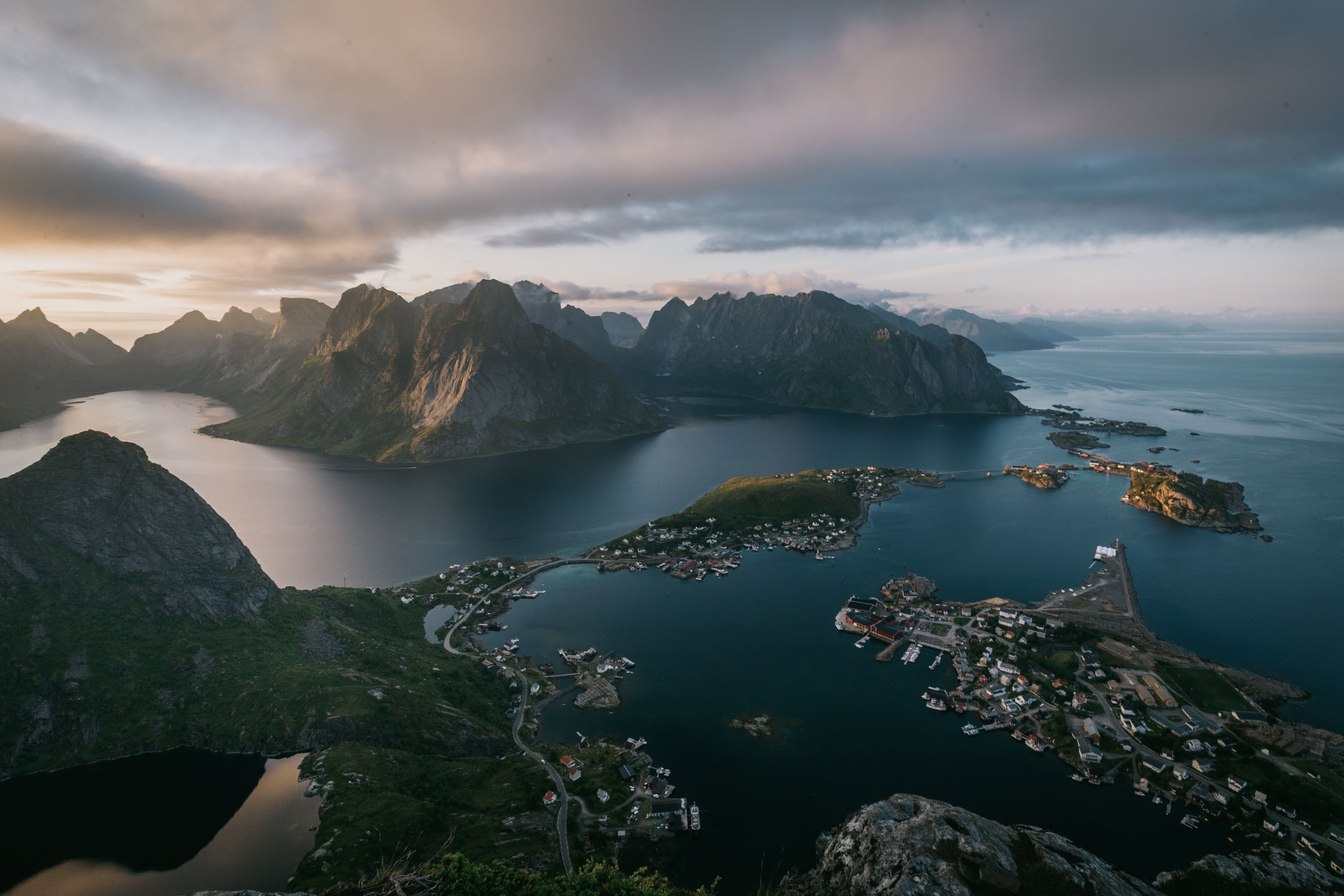
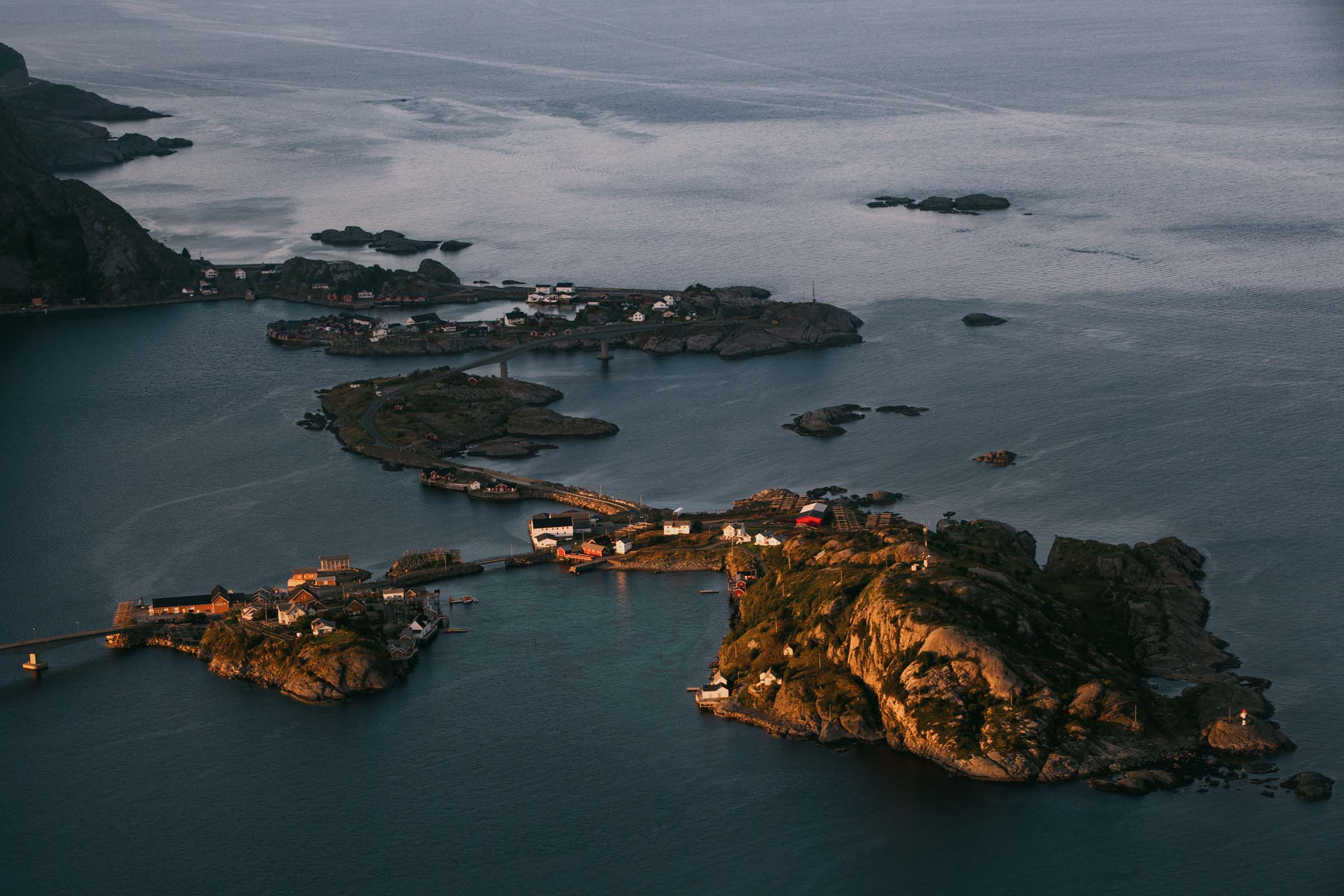
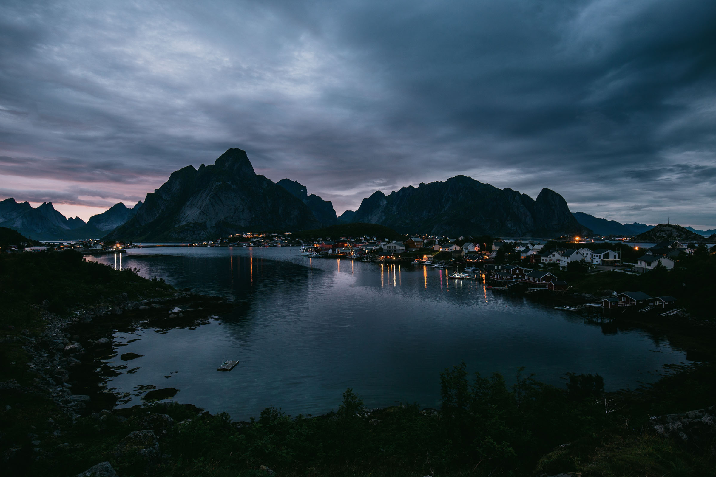
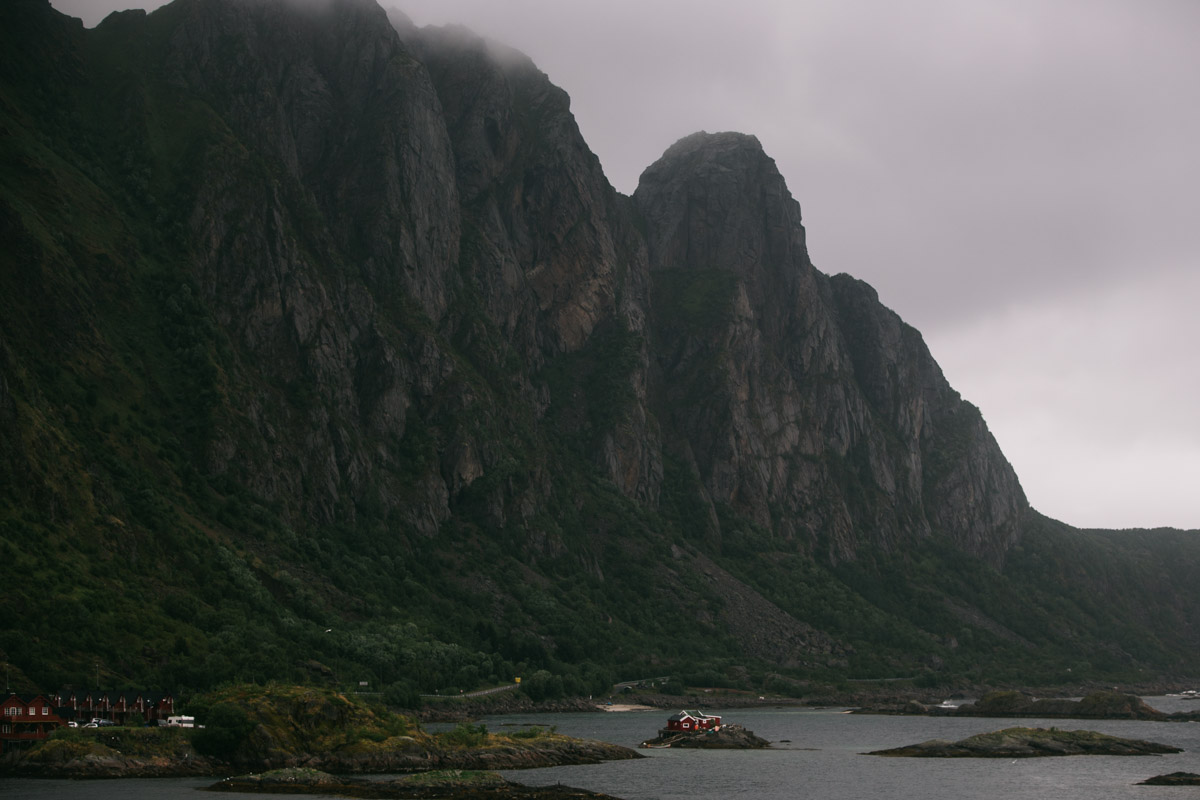
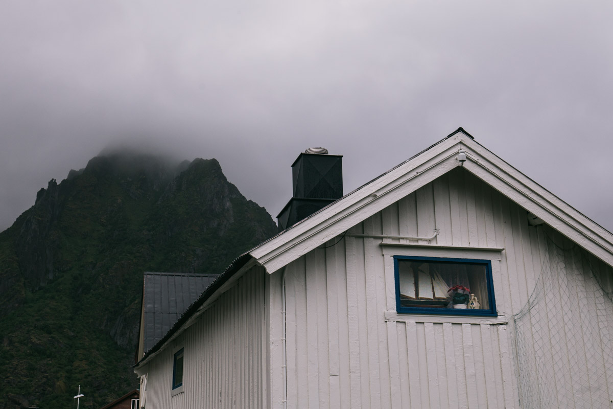
Day 3: Å through Hamnøy and Reine
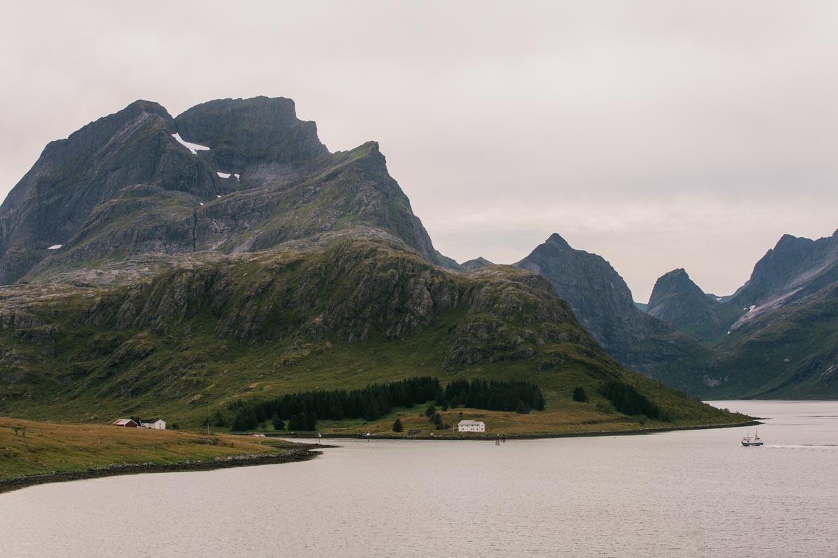
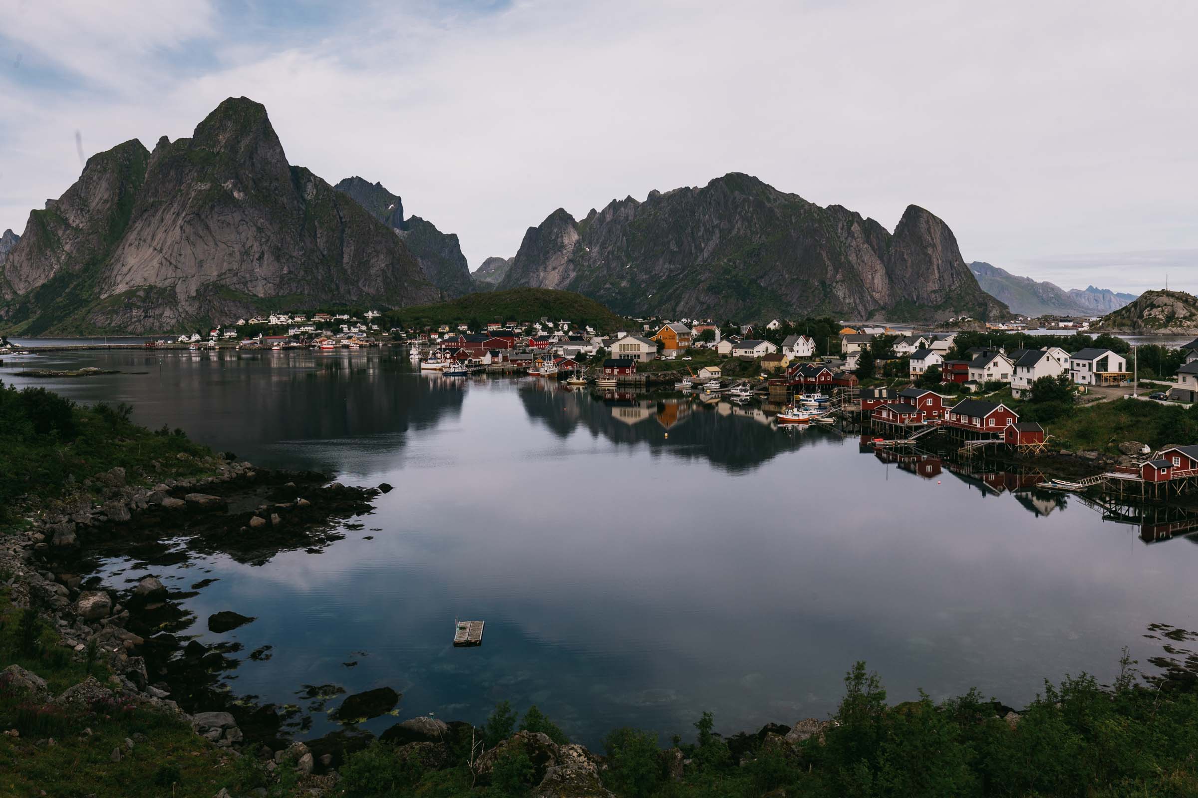
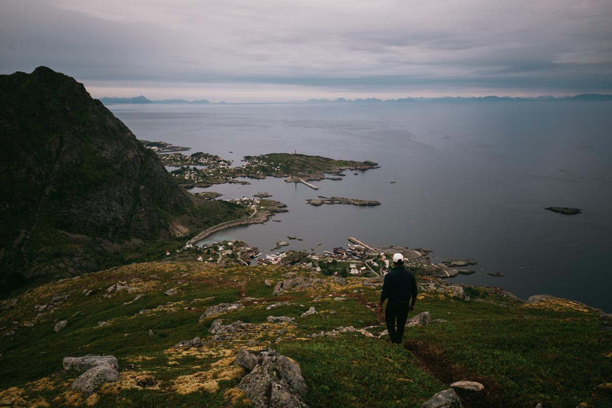
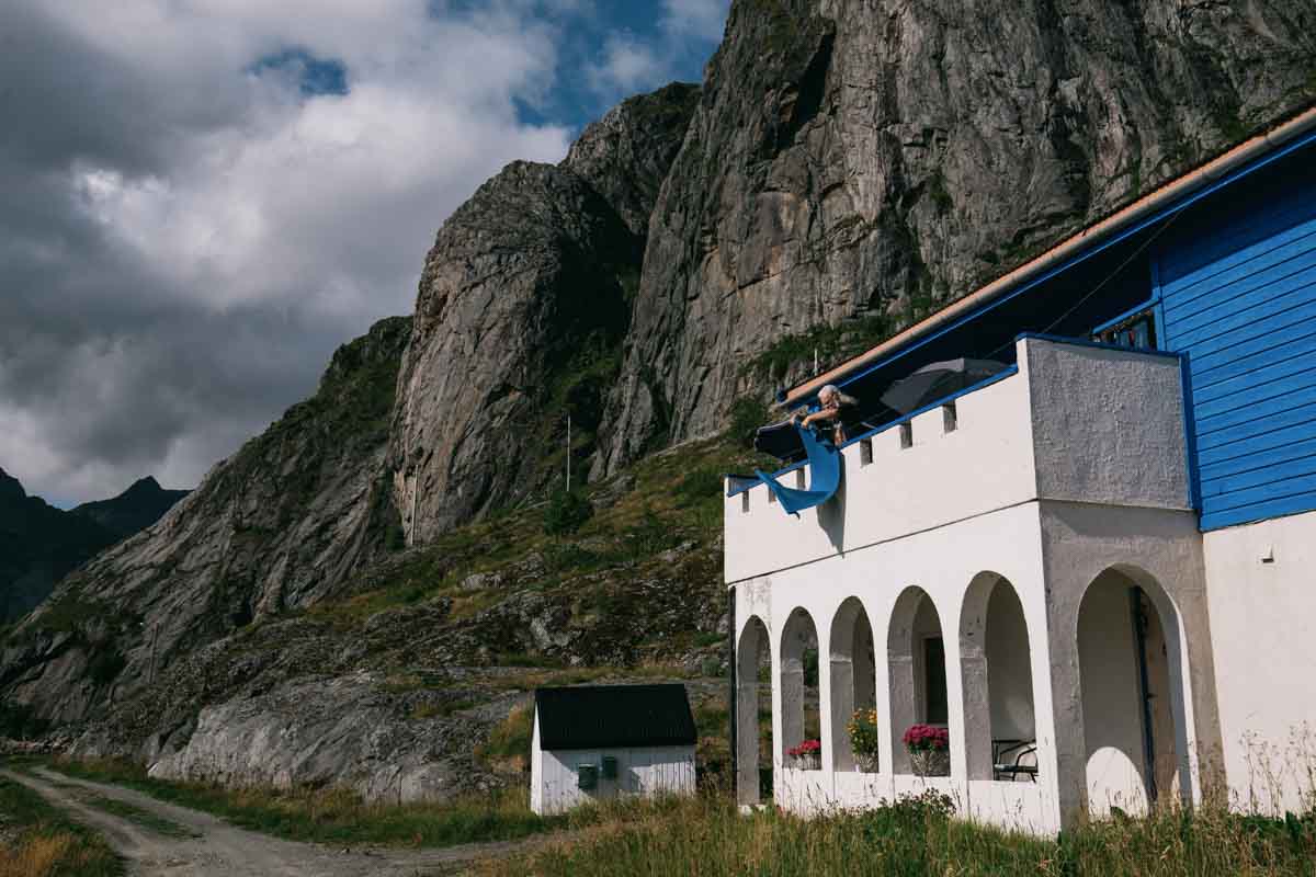
Day 4: Reine and surroundings
Out of everything I saw during the trip, Reine and surroundings were the favorite. I have decided to spend the whole day there.
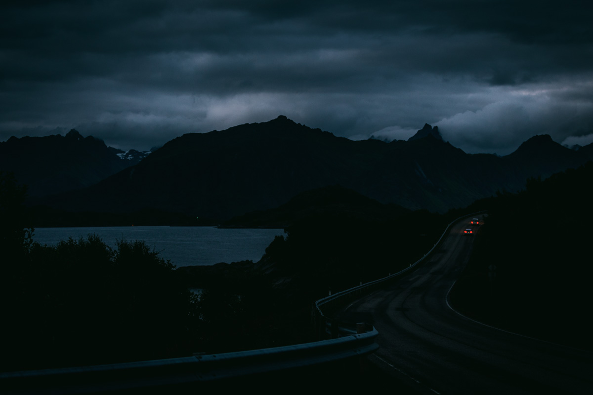
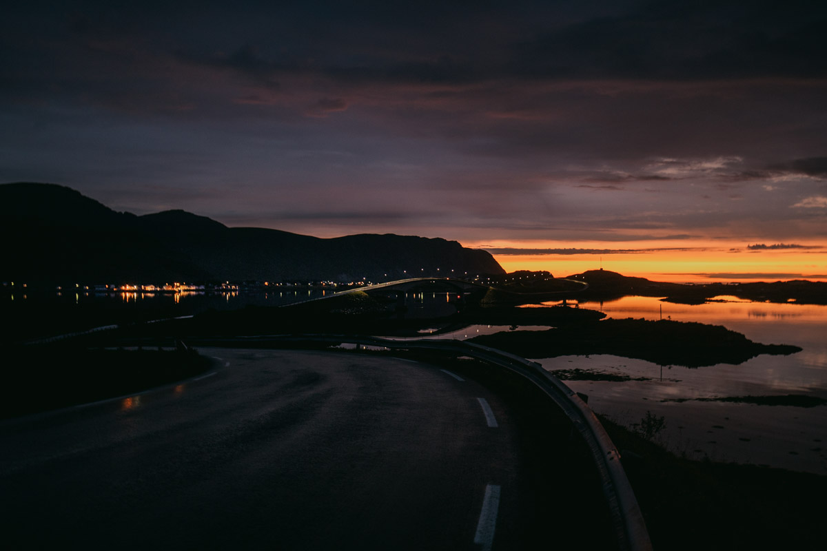
Day 5: Svolvaer and conclusion of the trip
We were blessed with good weather, but it came to an end. It has been raining most of the time. I decided to spend my last day Svolvaer and then take a ferry to Tromso.
Overall, if it is your first time in Norway, I would highly recommend taking a similar road trip. It was the first time for my friends, and each day was more exciting than the one before. But if you are like me, who traveled to Norway already, a direct boat to Reine should be the way to go.